Hargad Fort Information
Hargad Fort Information
- Fort type Hill Fort
- Hargad Fort height 4450 feet
- Fort range Selbari - Dolbari
- Fort Trek Grade Medium
- Fort District Baglan Nashik
- Food not available please carry with you
- Water no drinking water on the top
- Accommodation not available
About Hargad Fort
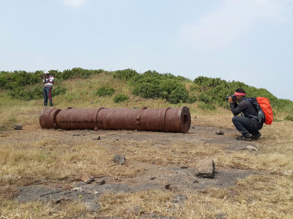
There are some remnants of the fortification on the top. Ruins of a temple, of the residential structures and a couple of water cisterns, can be seen here. However, the water in these tanks is not potable and hence it is necessary to carry enough quantity of water.
A cave with a temple of goddess Kapaar Bhavani can also be found on the plateau during the fort-walk. Apart from these places, there isn't much to be seen on the fort. One can either return by the same path to visit the Mulher fort or go back to the village of Mulher. The whole walk on the fort can be completed in an hour’s time.
You can combine your visit with Salher Salota Mulher Mora Hargad Trek. All five forts can be covered in two days in this trek ideal for trekkers from Mumbai and Pune.
Hargad Fort - हरगड किल्ला established in the Baglan region of Nashik area. There exist two chief mountain ranges in the Baglan region, the Selbari range is south of the Dolbari mountain range. Selbari-Dolbari ranges are running parallel with each other in the east-west orientation. Hargad and other forts in the region controlled to maintain vigilance on Surat Burhanpur's ancient trade road. The old trade route passes between the Solbari Dolbari Ranges. Hargad Fort is smaller in size and located in closeby to Mulher Fort. Forts in the region were of great importance established between the productive farms of Khandesh and the wealthy city of Surat.
How to Reach Hargad Fort
- From Nasik travel to Satana, then Taharabad and finally Mulher village about 134 km from Nasik
- The nearest Railway station is Nashik Road

