About Ratangad Fort Trek
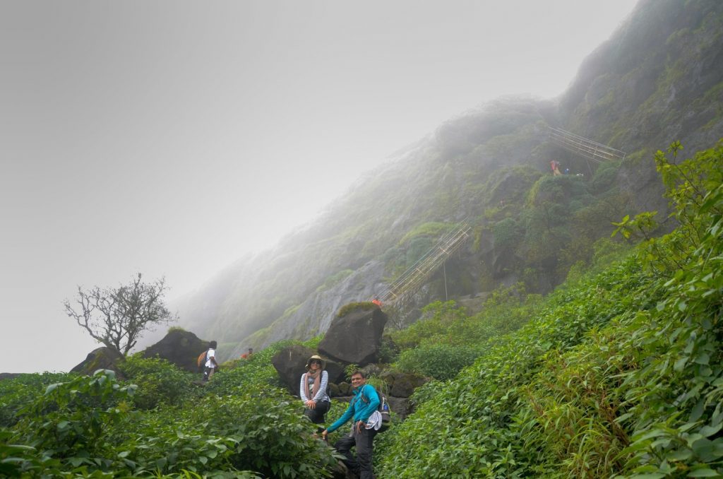
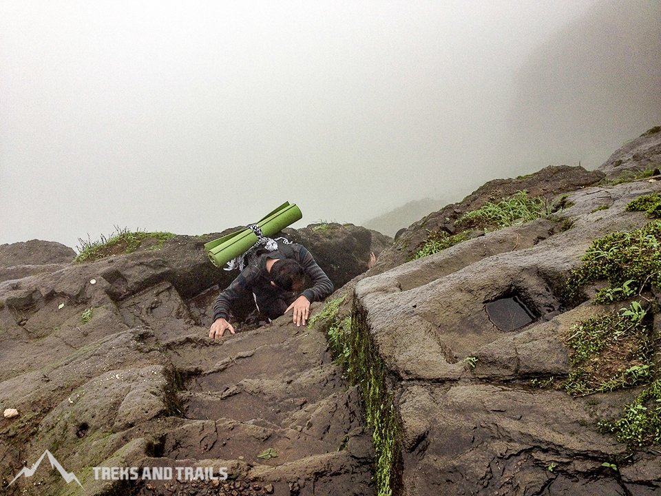
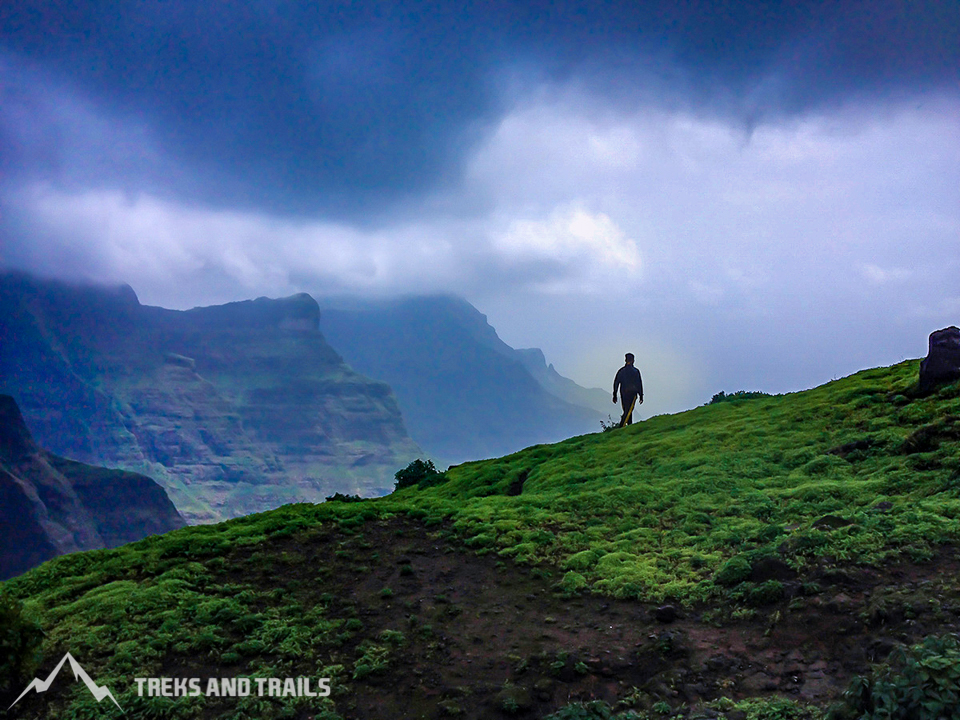
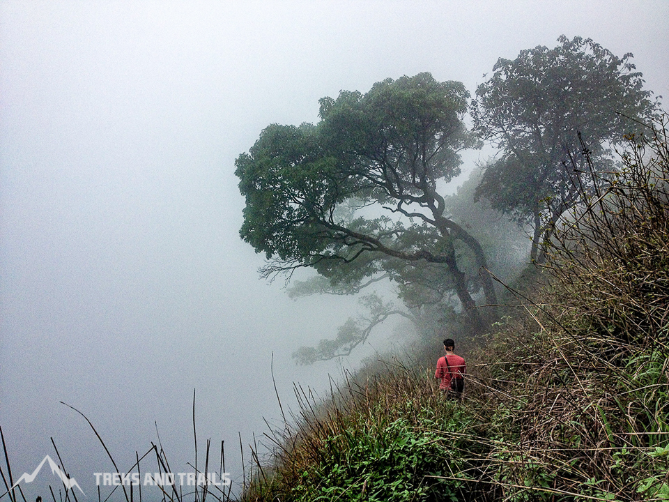
Situated amid the thick wildernesses of Western Ghat, Ratangad Fort Trek is one of the most extraordinary kinds of structures to observe in the area. You will be astonished as the titanic cliffs unfurl before your eyes, one behind the other as you traverse on the fringe of the Ratangad Trek. Ratan gad is situated in Ratanwadi, Maharashtra, raised around 4255 feet above ocean level. Ratangarh fort Maharashtra vests in the lovely scene with thick woodlands on one side and the vast spread Bhandardara Lake, on the opposite side. It falls in the Ghanachakkar hill ranges is the starting point of Pravara River. The fortification is around 400 years of age and was captured by Chhatrapati Shivaji Raje Bhosle. Ratangad Nashik is additionally called Jewels of the Fort. The trail goes through thick forests along the northern bank of the Pravara River, till it arrives at a scarp. The last ascend made simple by the iron ladders built by the forest office. It is located inside the Harishchandragad Kalsubai Forest Sanctuary. Many routes lead to the summit of the Fort, the most famous one is from Ratanwadi Village. There is another popular route from Samrad village. You can also climb from Samrad Village and descend via the Ratanwadi village route. Ratangad trek in monsoon the path is slippery and will require a confident hiker with good trekking shoes.
Ratangad Fort Information
Starting point: Ratanwadi, Ahmednagar
Trek Gradient: Moderate. Ratangad Trekking is a continuously uphill trail with some rising and falling segments. It is a blend of forest trail and iron ladders. It needs high endurance and good grip shoes in monsoon.
Approximate time: 3 hours to ascend and 2 hours to descend
Water Sources: Many Water tanks are available on the Fort. Carry water purifying chlorine tablets, life straw bottle to drink safe water during winter and summer. One should carry at least 2 liters of water before starting the trek.
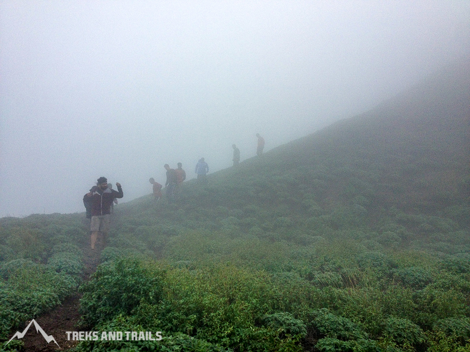
Best months to visit: Ratangad trek Maharashtra is beautiful throughout the year. However, the best season is from October to February when the temperature is cold, and the vegetation has not dried up. Ratangad enveloped with beautiful flowering plants in November. One can climb the hill amidst beautiful greenery that is fresh from the monsoon rains. You will also come across many waterfalls, en route. During monsoon, most trekkers visit the mountain. The Fort wholly covered with dense fog and clouds visibility is poor. You won't get good images of Bhandardara from the summit due to the fog.
How to reach Ratangad
Getting there
By Railway:
- The base village Ratanwadi can be accessed easily by Mumbai and Pune. One can get down at Kasara, which is the nearest railway station, and then take a Jeep to Ratanwadi. Several state buses also ply from Kasara station to Shendi village. From here you can hire a local Jeep till Ratanwadi village. Kasara to Bhandardara well connected by local jeeps, private cabs, and State transport buses.
- Subsequently, you can reach Ratangad from Igatpuri from Mumbai and Nasik. Igatpuri railway station is 56 km from Ratangad. If you are traveling from Pune, get down at Kalyan and catch a train going to Igatpuri. You can hire a local, shared jeep from Igatpuri to Ratanwadi. It takes about 2 hours 15 minutes to reach Ratanwadi from Igatpuri.
By Road:
- From Pune: Pune - Narayangoan - Purshwardi - Shendi – Ratanwadi.
- From Mumbai: Mumbai - Thane - Igapuri - Ghoti - Bari – Ratanwadi
- From Igatpuri: Ghoti-Shendi route, small boats are available from Shendi village to reach Ratanwadi in 30 minutes.
Ratangad Fort Trek Blog
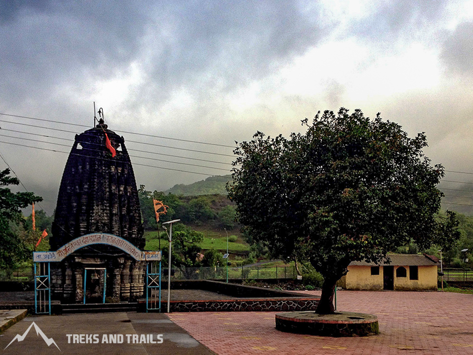
The trek begins from Ratanwadi village. Advance toward Amruteshwar temple once you arrive at the town. The path to the top starts from the left side of the Pravara River, accurately opposite the Amruteshwar temple also known among Hikers as Ratangad temple. From this temple, with your back towards the Bhandardara dam, you can see the massively erect Ratangad before your eyes. Ratan gad simply recognized by its Nedhe a natural rock peak with a cavity in it at the top, Eye of the needle on the head of the fortification, which is its main attraction. On the right side of the Fort, you can see a thumb-shaped pinnacle, which is known as Ratangad Khutta.
The trail primarily traverses through village fields and is reasonably smooth till you stumble upon a dam which has been newly built on the river. You will be required to cross the river here and scramble up dam barricade to now keep the river to your left side. The path moves along the boundary of the water body formed due to the dam. This path is straight with trivial ascents till you reach the base of a hill. You have to ascend this little hill which is before the fortification. After climbing the hill, you arrive at a small clearing. It takes around 45 minutes to reach here.
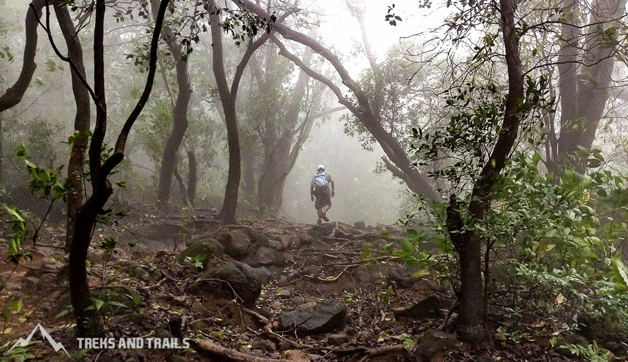
Even though the entire way to the top has been marked by on stones, following every 5-10 minutes, there are high possibilities that you may get baffled as there are numerous trails from the main track. Pursue the relatively broader trail going up the slope and watch out for white bolt markings. The trail is confusing just until you arrive at the opening up ahead on the slope. You just have to keep following the trail from here. After the clearing, the path pierces into a thick forest. Here, it rises decently. Karvi Flower, Terda, Barka, Sonki Flower are a few plants that you find in the woods. You will reach the second clearing in 30-40 minutes. From here, the trail bifurcates into two. The right one goes up to Ratangad. The trail straight ahead leads to Harishchandragad. There is likewise a little board demonstrating both the ways.
Ratangad Fort Blog
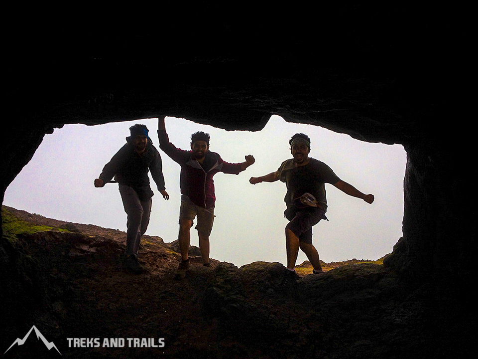
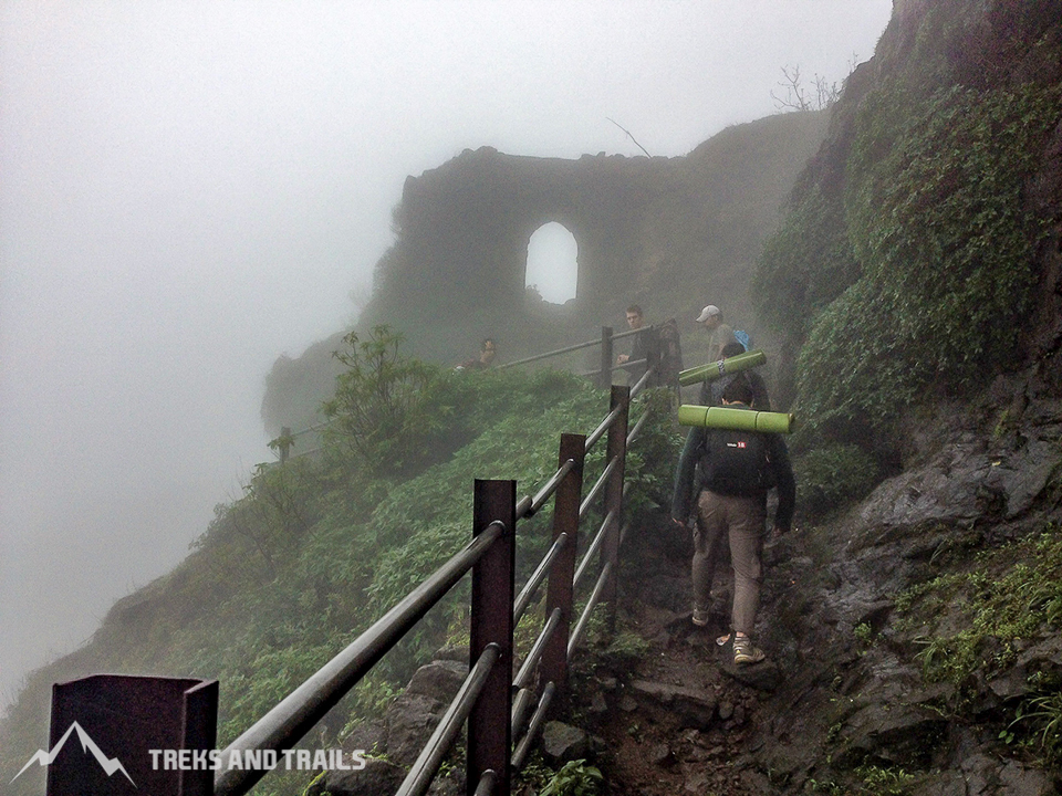
Tag along the Ratangad path, there is an ascent for around 10-15 minutes again through thick woods. This course opens up into a large rock patch. Three steel ladders take you to the top of the rock. Once you climb the ladders, you will arrive at the first door of the Ratangad Fort. Stroll ahead for 2-3 minutes till you arrive at the fourth ladder. While climbing on this ladder, you will see a significant cavern on your right side. If you decide to stay in the Fort, you can take shelter in the cave. The cave can accommodate 30-40 individuals. Do expect a company as many hikers use the cave for camping during monsoon. A local villager provides meals over the weekend he cooks near the entrance of the cave. You can check with locals if he is available when you travel.
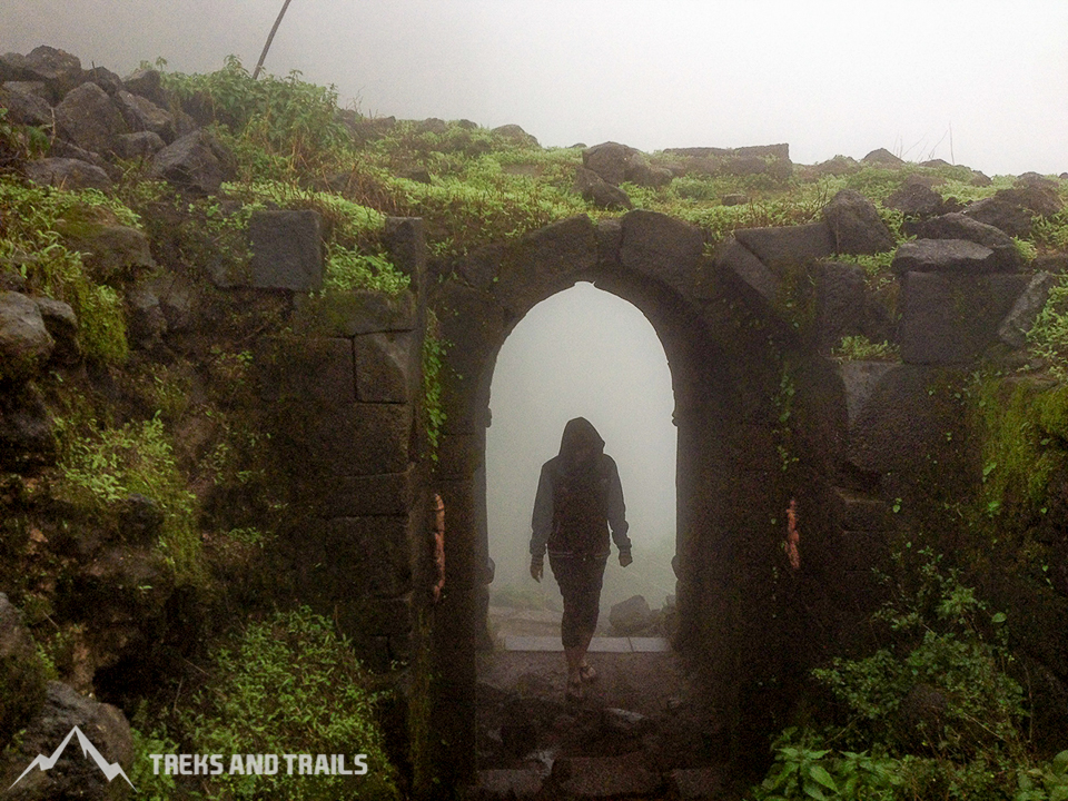
When you reach to this cavern, you are nearly at the top. There are a couple of stone strides to one side which lead you to the second gateway of Ratangad. There are beautiful stone sculptures and carvings on this gate. Few more steps ahead and you reach the top of the Fort. A round bastion is seen on the right. It takes about 2 hours, 30 minutes to reach here. Keep strolling on the similar path; walk till you see the nedhe on the upper right section of the fortification. There is a precarious rising of 15 minutes to move up the nedhe. The turbulent breeze blows through the Eye of the Needle. You can even climb up on the head of the nedhe. However, one needs to be extremely cautious while climbing up the nedhe. The course is somewhat hazardous because of the screen. The view from the top is entrancing. Retrace the same path through which you went up to reach Ratanwadi. It takes about 2 hours to reach the base.
Places to see at Ratangad Fort
There is a delightful 1,200-year-old Amruteshwar Shiva sanctuary in the village constructed way back in the ninth century in the Hemadpanti architectural style. The fences of this temple are embellished with excellent and mind-boggling stone carvings and statuettes. The Pravara River gushes by the sanctuary.
The carvings on the dark stone of the temple structure draw out the old artistry delineating stories from religious Hindu scriptures like Samudramanthan, the statue of Yakshakinnar. Nearby the temple there is a flawlessly assembled water tank named Vishnutirth.
Ratangad has the remaining parts of fortification with bastions and stone dividers. The first door of Ratangad Fort has figures of Lord Hanuman and Lord Ganesha. There are numerous wells on the top, close to the four doors of the Fort which are Ganesh, Hanuman, Konkan, and Trimbak. There are many stone cut water reservoirs on the fortification.
There is a specific gap in the peak presumably brought about by wind disintegration. It is 10 feet high and 60 feet wide. This natural rock cavity has a developing tip at the top known as 'Nedhe' or 'the aperture of the needle' called because of its shape. You can rest for a while in the Eye of the needle.
The Fort at the head of the slope gives its onlookers a perspective on the Sahyadri ranges like Alang, Kulang, Madan, Harishchandragad, Patta are seen clearly. From the southern side, one can see Katrabai and Ajoba Fort super close. On the right side of the Fort, you can see a thumb formed zenith, which is known as Ratangad Khutta. Ratangad Flower trek available post-monsoon should not be missed when the fort is covered with the Sonki flower.
The Fort is the birthplace for the stream Pravara/Amrutvahini. The Bhandardara Dam is based on this river. The entire vista of Bhandardara Dam gives sheer delight to the trekkers. Ratangad offers astounding views of the surrounding peaks and the Bhandardara dam. The ruggedness of the Sahyadri mountain ranges can be experienced only from a few forts and Ratangad is one of them. It is a famous spot for places to visit near Nashik.
Frequently asked question
- Why should you visit Ratangad Fort Trek?
Locals say Ratangad Fort was the vacation fort. It is located inside the deep forest of Harischandragad Kalsubai Wildlife Sanctuary near Bhandardara Lake. It has pleasant weather and beautiful views in 360 degrees. Raigad Fort was the capital of the Maratha Empire, and you can say Ratangad Killa was the vacation destination if you are a regular hiker than it must be on your bucket list of places to visit near Mumbai.
2. Can you tell me more about the Ratangad Fort Darvaja?
The Fortress has four gates Ganesh Darvaja, Hanuman Darvaja, Konkan Darvaja, and Trimbak Darvaja. The carvings of Lord Hanuman and Lord Ganesh are seen on the central gate.
3. Places to trek near Ratangad Fort?
There are many treks available near Ratangad Fort. Most of them would require a guide or climbing equipment. Here is the list of the most popular and offbeat Igatpuri treks near Ratangad.
- Sandhan Valley Trek
- Karoli Ghat Trek
- Ratangad to Harischandragad Fort Trek
- Harishchandragad Fort Trek via Pachnai Village
- Katrabai Trek
- Kalsubai Trekking
- Pabargad Fort Trek
- Alang Madan Kulang Fort Trek
- Ajoba Parvat Trek
FAQs
4. Our recommended top ten famous Forts of Maharashtra?
- Pratapgad Fort
- Raigad Fort
- Rajgad Fort
- Rajmachi Fort
- Harishchandragad Fort
- Torna Fort
- Vasota Fort
- Sudhagad Fort
- Dhodap Fort
- Harihar Fort
5. Places to visit nearby Ratangad Fort?
If you are looking for offbeat picnic places in Maharashtra, you can visit some of the below destinations mentioned. These are excellent options for a one day trip near Nasik?
- Amruteshwar Mandir Bhandardara
- Ghatghar Kokan Kada
- Ghatghar Dam
- Wilson Dam
- Samrad Reverse Waterfall
- Umbrella Waterfall
- Randha Waterfall
- Sandhan Valley
- Bhandardara Lake Camping
- Bhavli Dam
- Bhavli Waterfalls
- Pachnai Village Waterfall near Harishchandragad Trek
- Bhandara Lake
- Purushwadi Village Fireflies
Ratangad Hiking
6. Can you recommend hotels or resorts near Ratangad Fort?
There are many beautiful properties available for a stay near Ratangad Fort you can choose from the below list.
- MTDC Bhandardara resorts
- Anandvan Resort Bhandardara
- The Yash Resort Bhandardara
- Touchwood Valley Igatpuri
- The Grand Gardens Resort & Spa Igatpuri
- Manas Resort Igatpuri
- JenJon Lake Vaitarna Resort
7. Are adventurous activities available near Ratangad Fort?
Ratangad Bhandardara region is a popular hill station in Maharashtra. There are many adventurous activities organized here like hiking, outdoor camping, Sandhan valley rappelling with Valley crossing, Sandhan Valley Gaint Swing, Konkan Kada Rappelling, Bhandardara lake camping. Alang Madan Kulang Trek the toughest trek in Maharashtra requires three days to complete is available near Ratangad Fort. Monsoon trek are top-rated among Maharashtra Trekkers in this region.
FAQ
8. How to reach Ratangad Fort from Pune?
It is best to drive from Pune to Ratanwadi in the interiors of Ahmednagar. Pune to Bhandardara distance is 220 km will take six hours to complete. Bhandardara to Ratanwadi is 16 kilometers it will take 50 minutes. Driving coordinates are available on google maps. Ratan gad is a popular monsoon treks in Maharashtra.
9. Places to visit in Bhandardara and famous Bhandardara Trek?
If monsoon trekking excites you then here are top-rated places to visit in Bhandardara Hill Station Maharashtra. Bhandardara is your best weekend trek destination in Maharashtra. You can opt for many activities at the top-rated destination Bhandardara.
- Kalsubai Trek
- Purushwadi Fireflies Camping
- Ratangad Fireflies Camping
- Bhandardara Lake Camping
- Ratangad Fort Trek
- Amrusteshwar Temple
- Randha Waterfall
- Samrad Village Reverse Waterfall
- Ratangad Fort Trek near Nashik
- Ghatghar Kada
- Bhandardara Umbrella Waterfall
- Sandhan Valley Bhandardara
10. Is Ratangad camping available what is the best season for camping?
Local villagers arrange camping at the Fort near the caves, the best season for camping is during the winter months. Monsoon the Bhandardara region receives weighty rainfall, so the ground is always wet. Summer is sweltering during the day and difficult to trek.
11. Ratangad Fort Height?
Ratangad Fort situated in Ratanwadi, Maharashtra, raised around 4255 feet above the ocean level.
12. Ratangad Fort Difficulty Level?
Ratangad Fort Trek is the medium level difficulty that requires high endurance level.

